














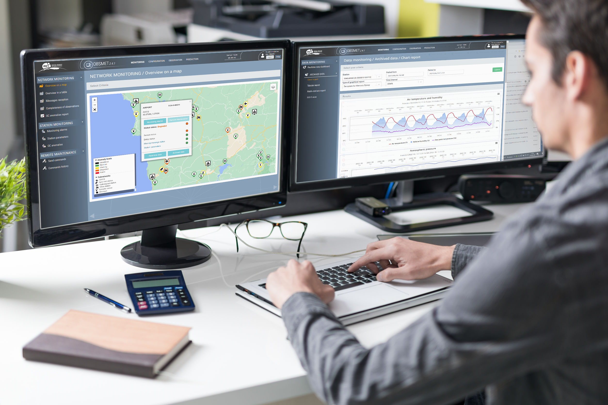

OBSMET HUB is a turnkey platform bridging field observations and global data exchange, enabling National Hydromet Services to modernize their infrastructure, streamline operations, and maximize data value. By integrating heterogeneous data collection, WIGOS/OSCAR-compliant metadata management, real-time quality assurance, and native WIS2 publication, it transforms raw observations into trusted, standardized WMO data streams supporting national services, the Global Basic Observing Network (GBON), and the Early Warnings for All (EW4ALL) initiative.
Key capabilities include:
- Universal data integration – Connects heterogeneous observation sources across multiple brands, communication protocols, data formats, and application domains.
- Centralized data management – Consolidates, standardizes, and secures all observation data within a single trusted repository.
- Real-time processing – Performs automated quality control and derived parameter computation as data are received.
- Smart network management – Provides advanced monitoring, diagnostics, and remote maintenance tools for station networks.
- Insightful visualization – Delivers interactive dashboards, charts, and tables for operational monitoring and analysis.
- Flexible observation workflows – Supports manual observations at synoptic stations and aerodromes alongside automatic networks.
- Seamless data delivery – Generates WMO/ICAO observation messages and distributes standardized or custom-formatted data to any operational system.


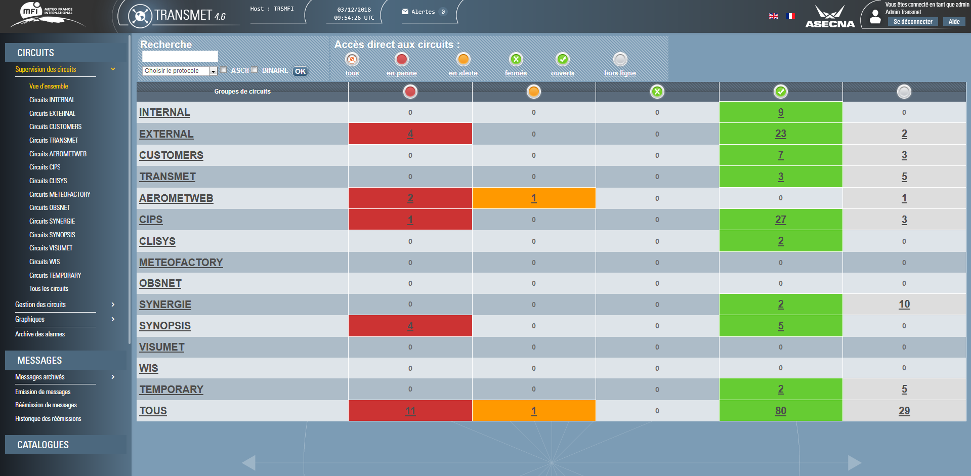

HUBMET, the evolution of TRANSMET, is an integrated met data management solution covering the full data lifecycle. HUBMET is built around current and emerging WMO standards, with native support for the WIS2 framework for the publication, discovery and exchange of met data.
Alongside WIS2, HUBMET provides broad protocol coverage:
- Modern protocols and interfaces — REST APIs, MQTT, HTTP(S), (S)FTP, and S3 object storage, including the ability to consume the SADIS APIs to retrieve aeronautical data.
- Aeronautical messaging — support for AFTN / AMHS, ensuring integration with established ICAO infrastructures.
This coverage allows HUBMET to handle heterogeneous sources in a single processing chain: observation networks, NWP models, satellite, radar, lightning and aeronautical data.
HUBMET brings together several complementary components:
- Datafetch: a flexible, multi-protocol and multi-API acquisition tool, capable of post-processing.
- Datahub: a containerised component for extracting, transforming, loading and routing data between internal and external systems.
- Satellite-processing: a containerised component that transforms raw satellite data into usable products (georeferenced imagery, RGB composites,…)
- WIS2Box: WMO-compliant solution for publication & exchange through WIS2: MFI provides integration, implementation, training & configuration services.

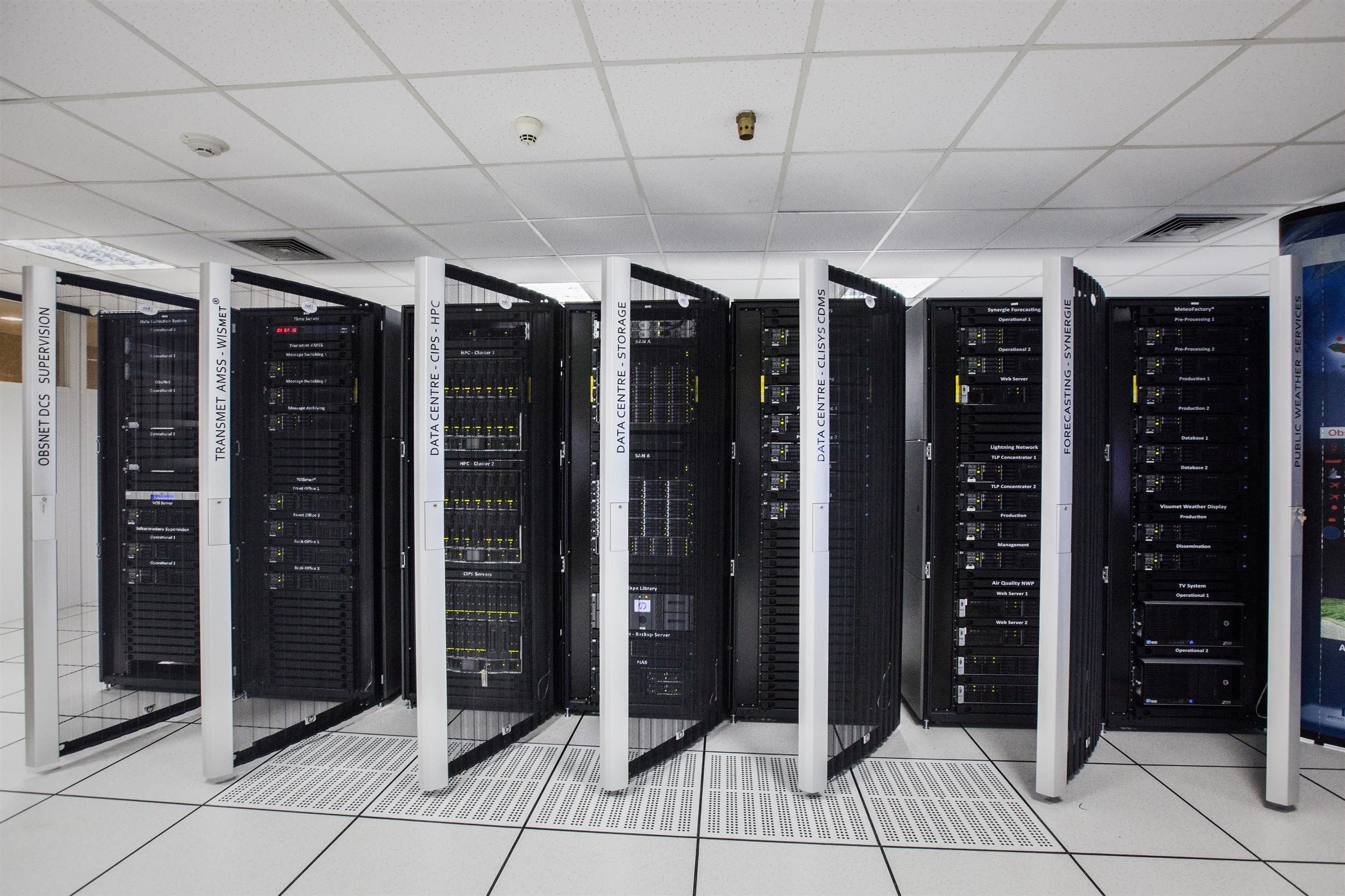


Store, process and access all your data in a powerful and reliable environment
CIPS Data Center
- Storage of meteorological data and metadata in a centralized and secure unified structure.
- Advanced storage management for dynamic configuration of the data retention policy.
- Easy and efficient access to data with ApplicationProgramming Interfaces (API).
- Available standards to produce and export dynamically maps, charts and data.
CIPS Task Center
- Design, configuration, monitoring and launch of advanced processing tasks from a centralized interface for “non-experts” users.
- Management of task versions, from development to production, through tests or research.
- Deployment of massive computation tasks on an external infrastructure, when required.
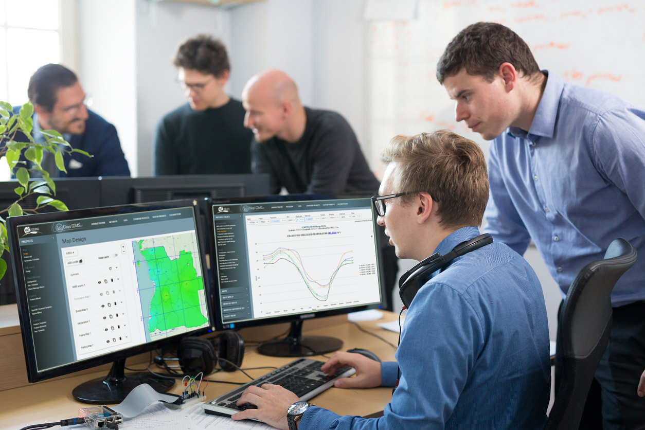
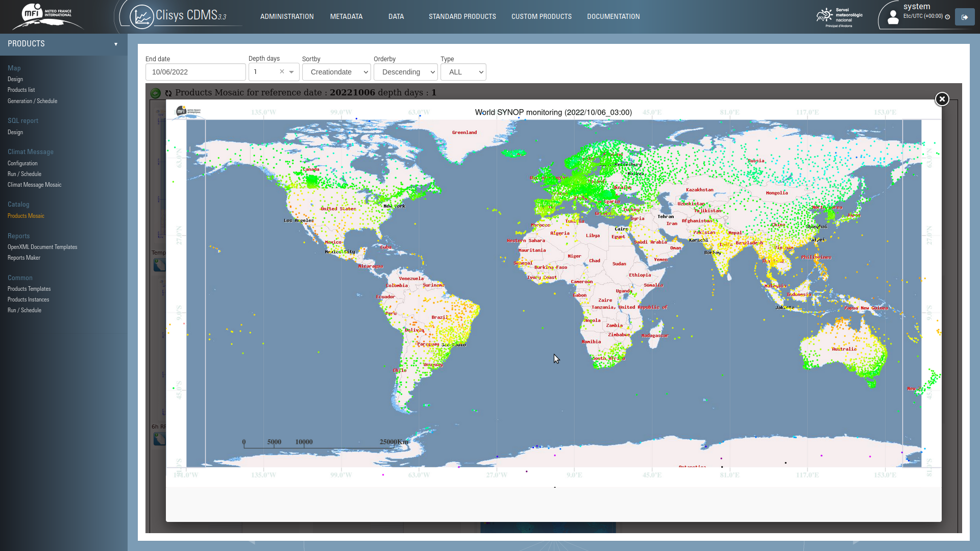


Monitor climate and contribute to climate services development
• Collection and safe storage of all national and regional stations climate data.
• Quality control of climate data according to WMO standards.
• Easy data access, and specific tools for climate data analysis and statistics.
• Contribution to the development of Climate Services activities and portfolio.
• Climate monitoring capabilities (diagnostic maps, bulletins, historical reference, watch) for National or Regional Climate Centres.

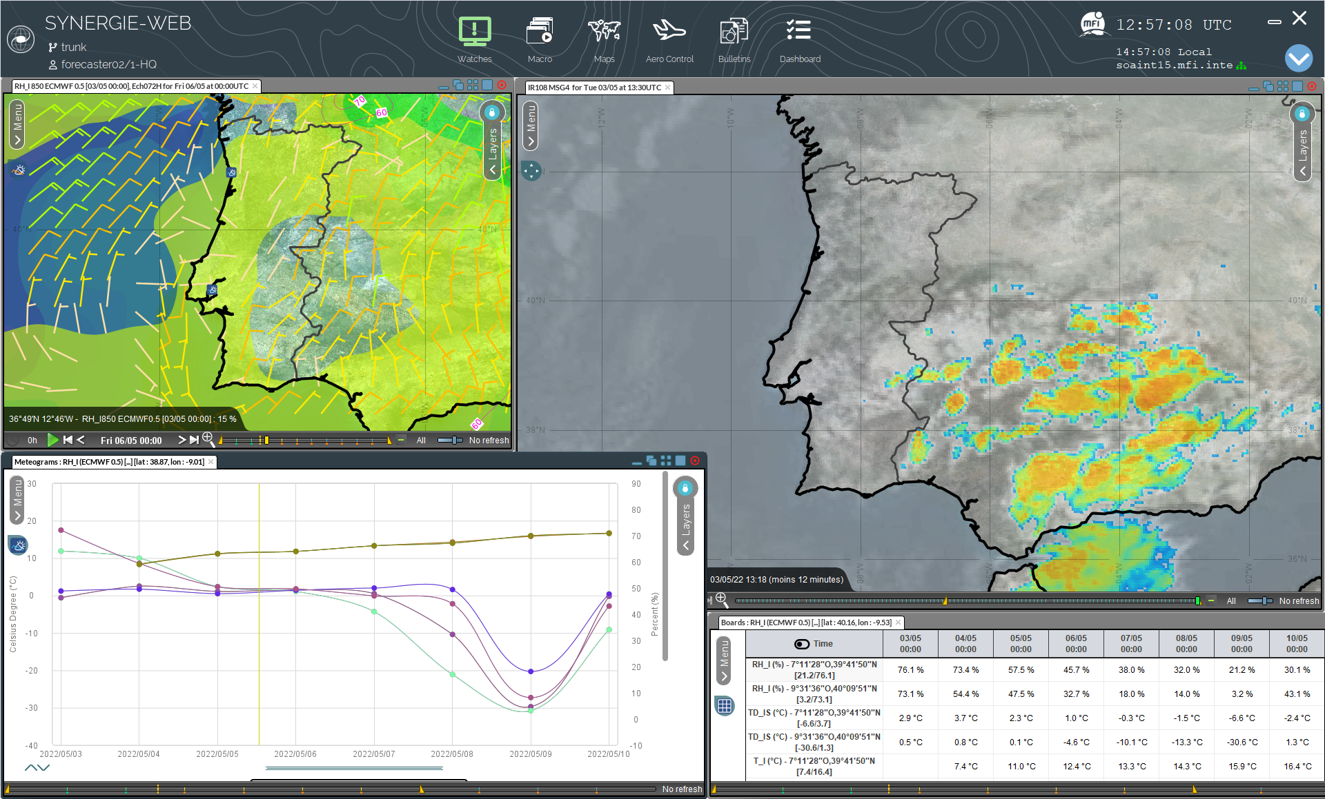
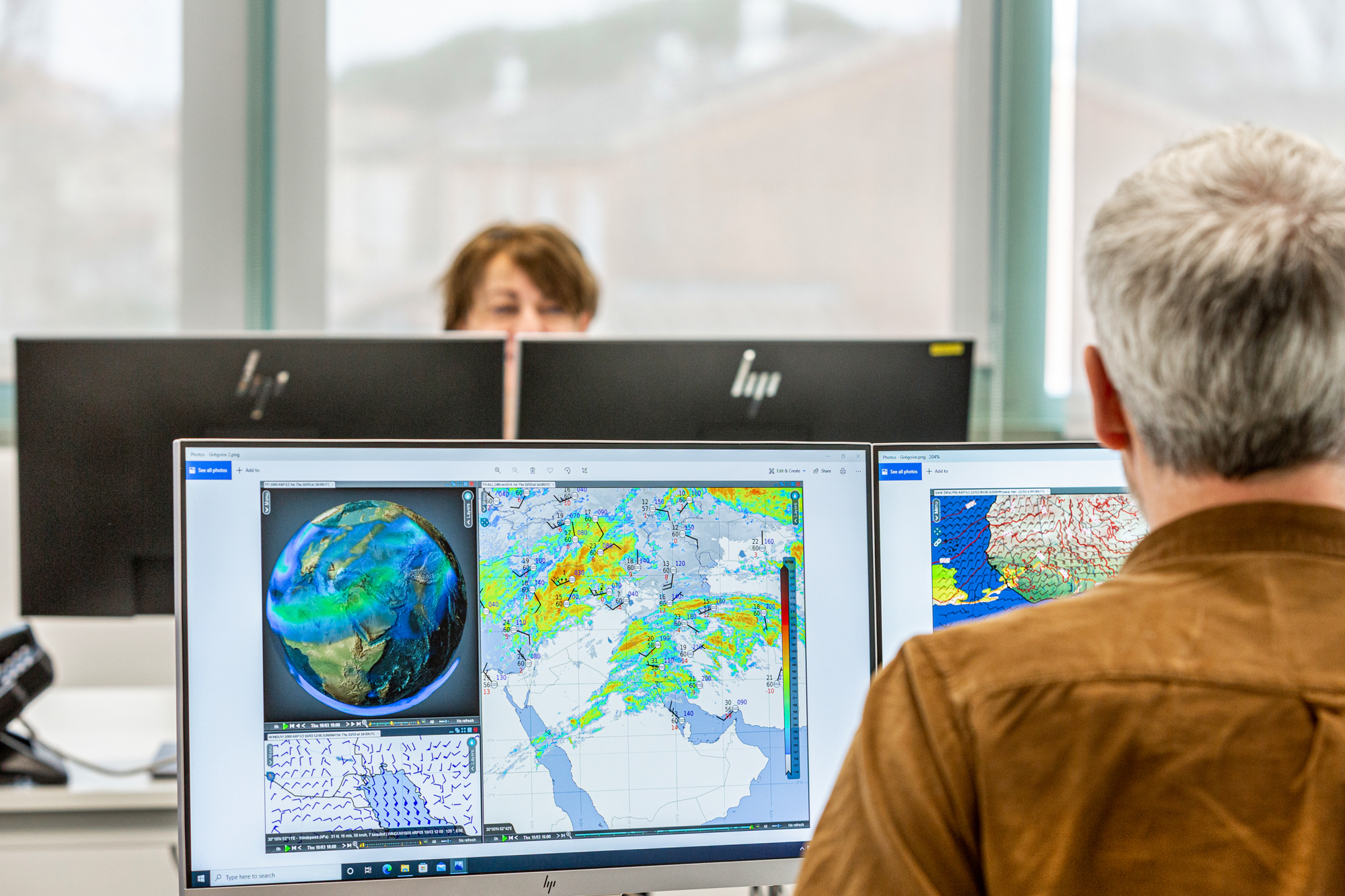

Visualize any type of met data & produce accurate weather forecasts and warnings
• Interactive data display and efficient tools for in-depth weather situation analysis.
• Advanced functionalities for all types of forecasting activities: general, aeronautic,
marine, warning, etc.
• Optimized environment for editing and managing forecaster’s expertise: SIGWX,
SIGMET, TAF, Digital Forecast, Impact-Based Forecast, etc.
• Dedicated tools for collaborative work (share of expertise, macro functionalities, etc.)

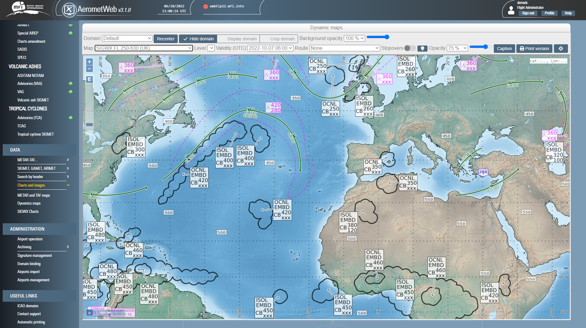

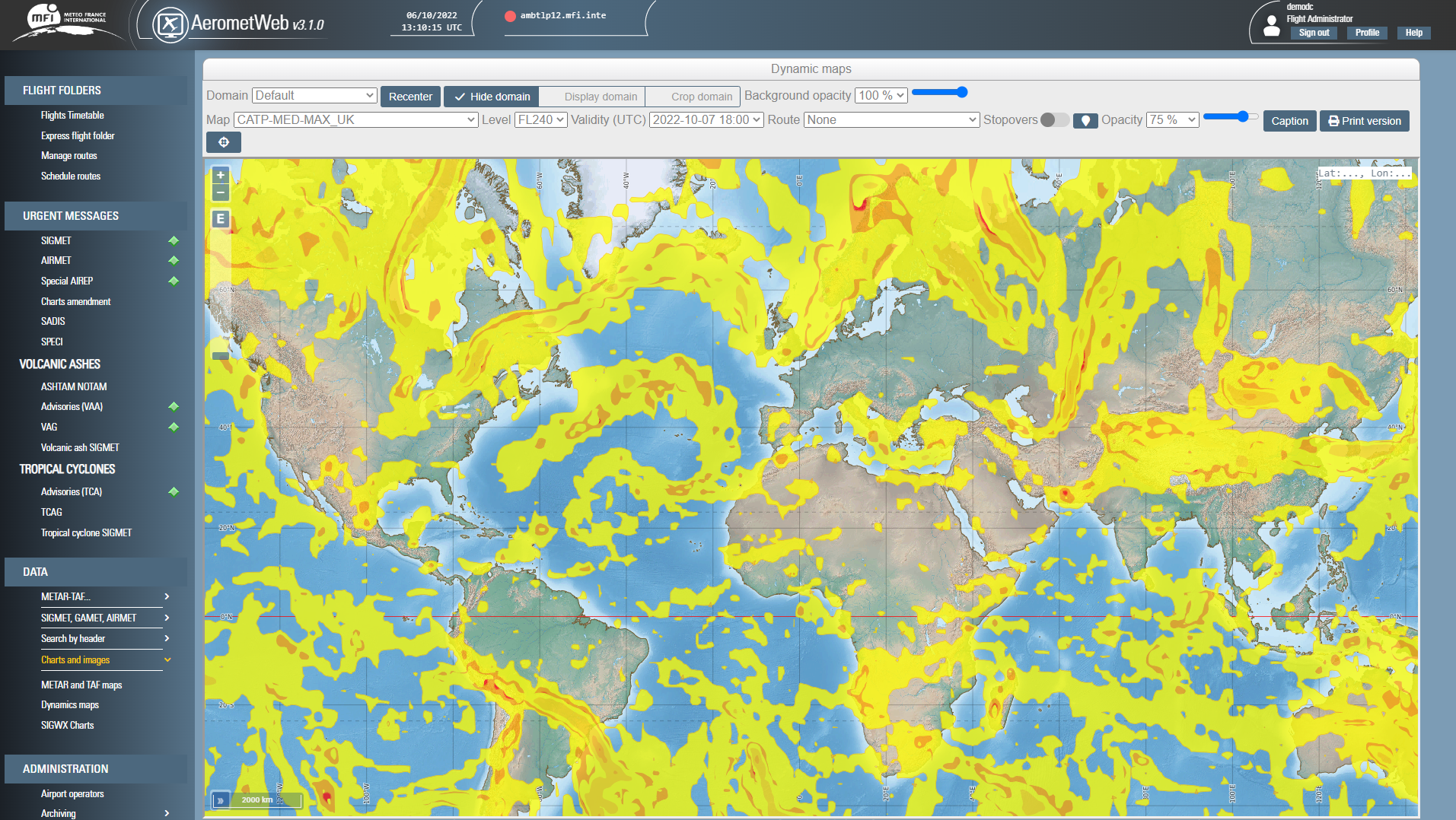

Generate and deliver ICAO-compliant meteorological flight folders for pilots and airlines
• Consultation of the meteorological data of any selected airport, FIR or geographical area.
• Display of urgent meteorological messages.
• Easy configuration of pre-flight meteorological documentation.
• Automated dissemination of scheduled flight folders.
• Archiving of flight folders according to ICAO regulation.


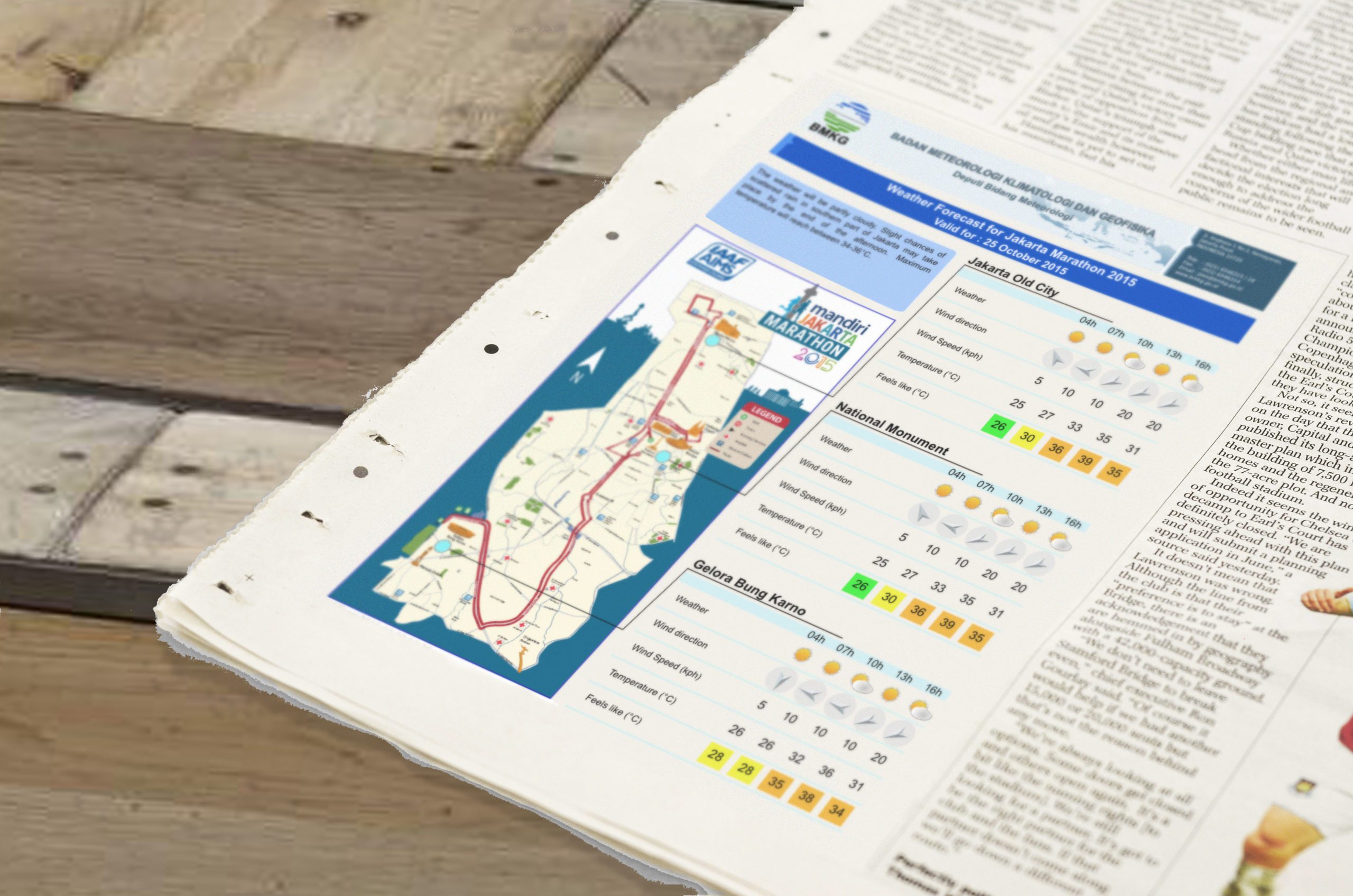

Design, generate, and disseminate all your PWS/EWS products and reach targeted audiences
• Integration of meteorological data, raw and expertized.
• Data processing with optional human validation.
• On event, scheduled or manual generation of customized products, and automatic dissemination via FTP, SMS, email, social media, etc.
• Integrated CRM functionalities for end-user subscription management.


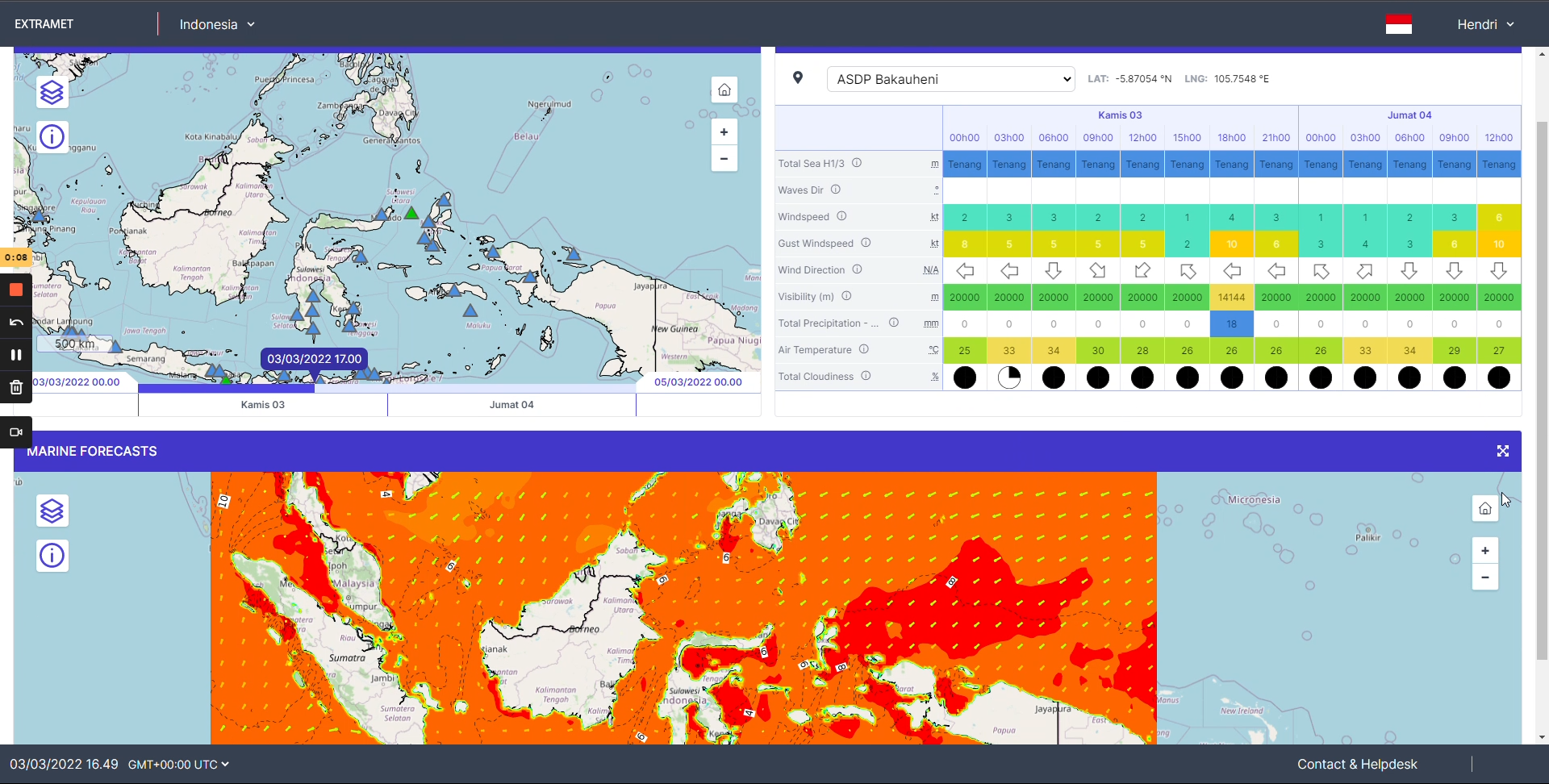


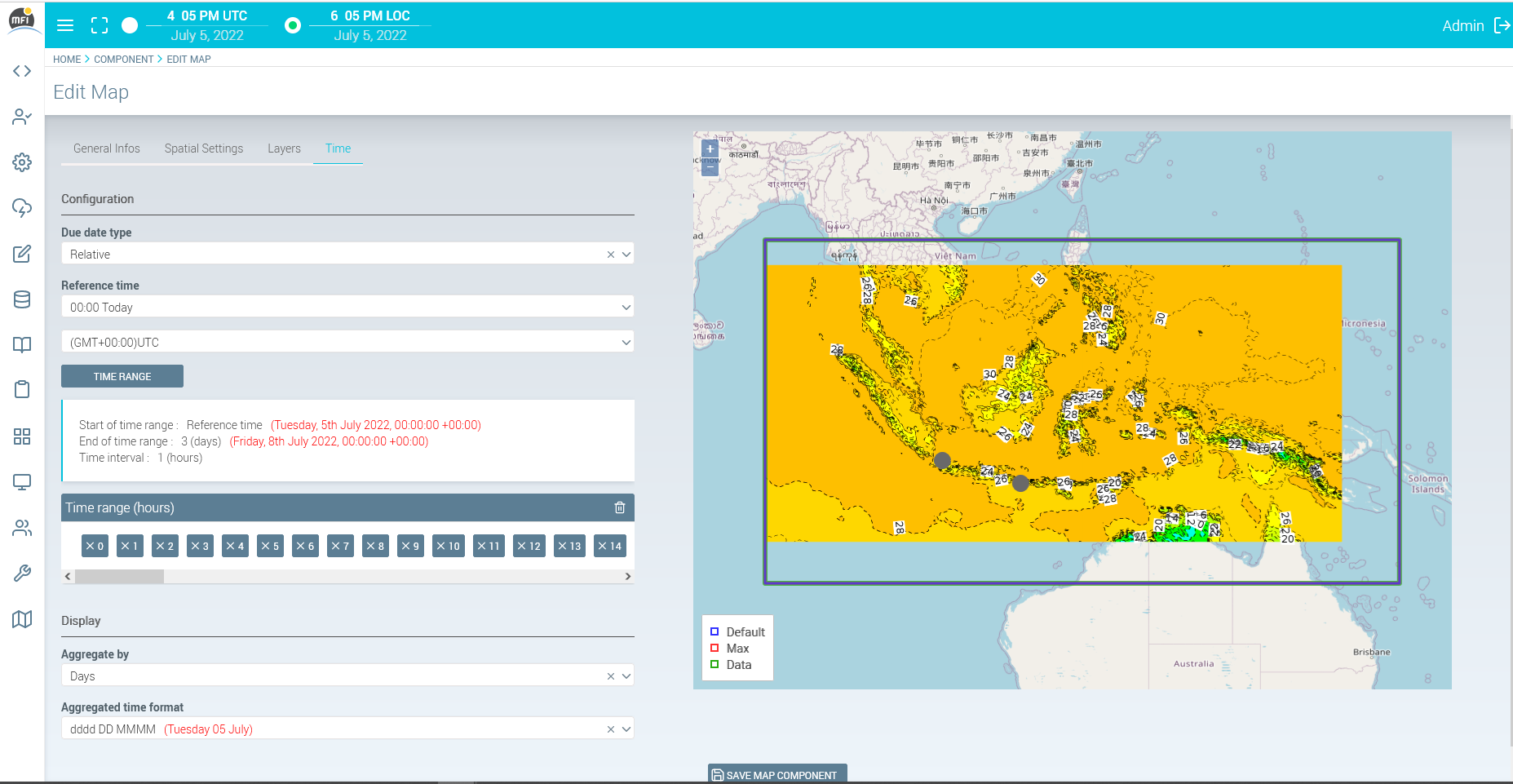

Design, manage and generate customized web portals to share data and products with your end-users.
• Extranet builder to easily create and implement customized extranet websites.
• Custom configuration for each end-user (points of interest, personalized thresholds, etc.).
• Attractive display of meteorological data: interactive maps, meteograms or graphical charts.
• Editorial functionalities: generate personalized weather reports and other complementary content.
• Compatibility with METEOFACTORY system: consult finalized products and expertized reports designed in METEOFACTORY.